Coastal Adaptation Plan:
The Shire of Dandaragan, Shire of Gingin, State government agencies and the Northern Agriculture Catchments Council have 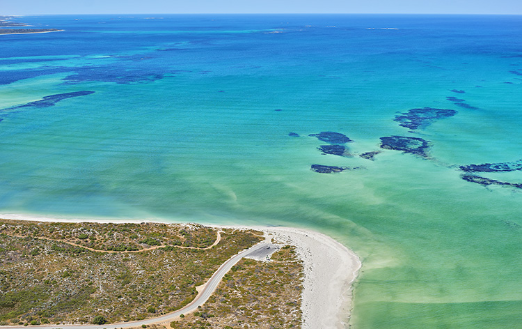 been working together to prepare Coastal Adaptation Plans. These plans will help communities from Guilderton to Jurien Bay prepare for coastal hazards such as long term erosion and inundation.
This partnership has prepared coastal erosion hazard maps (see links below) that will inform the preparation of the Shire's Coastal Adaptation Plan. This project is being undertaken in accordance with State Planning Policy 2.6: Coastal Planning Policy, which outlines specific planning guidance for coastal managers across Western Australia.
More information on Coastal Hazard Risk Management and Adaptation planning may be found below:
CHRMAP Brochure
FAQs
How can I be involved?
The Shires are committed to ensuring that the community’s values and attitudes inform the preparation of Coastal Adaptation Plans.
To achieve this, the Shires have undertaken the following activities to date:
April - Information packages mailed to relevant landowners.
May - Community engagement sessions held in Jurien Bay and Lancelin.
June - Community survey (available to complete online and hard copy).
The Shires, together with state agencies and coastal specialists, are using the information gathered through these activities to prepare draft Coastal Adaptation Plans. It is expected that the draft Plans will be released for public comment in the second half of 2017. The Shires are likely to host further community engagement sessions during the public comment period.
Further information will be provided as it becomes available, on this webpage and on the Shires' Facebook pages.
Coastal Hazard Maps
The Frequently Asked Questions linked below should be read before viewing the hazard maps. It is important to note that these maps do not predict future shoreline positions. The maps indicate the inland boundary of an area that may be vulnerable to coastal erosion over various planning time frames. Identifying these areas is necessary for future planning purposes.
Click here to see the Cervantes Coastal Erosion Hazard Map
Click here to see the Jurien Bay Coastal Erosion Hazard Map
Terms of Use
important information
The Shire of Dandaragan provides information about coastal hazard risk management and adaptation planning as a service to the community. This information is prepared in accordance with State Planning Policy 2.6 (State Coastal Planning Policy) and other relevant legislation. The methodology adopted, and sources of information used by the Shire, have been prepared by qualified coastal engineers, reviewed by State government agencies and can be sourced from the Shire.
Users of the information provided in this document accept the following conditions:
accuracy of the information
This information has been prepared using generally accepted practices, standards, available resources and best information available at the time it was prepared. Users of this information should consider whether they need to verify the information with an external source before use.
nature of this information
This information is not professional advice. It is a guide and does not constitute advice. The information provided in this plan is case specific and should not be used by external parties for their local purposes.
waiver and indemnity
Users of this information waive and release the Shire of Dandaragan from claims resulting from their use of this information. Users of this information indemnify and keep indemnified the Shire of Dandaragan and its officials, employees, agents and contractors against any claims, demands, actions, suits, proceedings, costs, expenses, damages and liabilities for any loss or damage resulting from your use of this information, irrespective whether this loss or damage was caused by the negligence of the Shire of Dandaragan or by any other means whatsoever.