Smith Farm Landscape Rehydration Demonstration Site Project - Dandaragan
Project Plan
Objective
Set a small sub-catchment scale demonstration of Landscape Rehydration on the Smith’s farm in Dandaragan as a demonstration site to highlight how using basic land design principles results in improved land rehydration.
Proposal
The demonstration on the Smith’s farm would be based on Natural Sequence Farming Rehydration principles:
- Construct earth banks within the creek lines at the places where there should be natural steps in the flow line;
- Recreate wet lands in the ponds that form behind those steps. This involves some planting of trees and other vegetation, but many wet lands species will naturally come back once the ponds are formed;
- Construct near level contour banks that will hold water high in the landscape, and run water out of the creek lines from the ponding banks;
- Construct spill out points in the contours on the ridges so that water spreads out over the largest area below as possible;
- Place heaps of manures at the spill points so that nutrients are spread across the landscape by water flow;
- Introduce perennials back into cleared land:
- woody perennials are used at the top of the landscape
- water-tolerant perennials in the reformed flood plains low in the landscape
- perennial grasses or legumes that will be compatible with cropping are used in the mid slopes
- Allowing deep rooted ‘weeds’ to grow and repair soils. The ‘weeds’ can be mechanically mulched which helps to facilitate the natural succession to higher order plant communities.
Activities
- Conduct a preliminary Catchment Function Analysis of the whole Minyulo Brook catchment. This will identify how the catchment should function and identify where critical processes have broken down at critical sites.
- Conduct a detailed Catchment Function Analysis on Smiths farm.
- Produce a design of ground works to rehabilitate the surface water flow systems and restore natural functions. This will include recreating wet land ponds in the water flow lines and contour banks to spread water back out onto the paddock. The plan will include replanting of some vegetation at keen points, though natural regeneration of vegetation will occur once the landscape function is restored. Advice will be given on the opportunities for growing perennial pastures and fodder that will benefit from the landscape rehydration.
- Consultant to provide training and guidance for the Smiths to build the earth works using their own equipment.
- Tierra Australia to conduct a field day on the demonstration sites for other farmers, researchers and government agencies and local miners.
- Project coordinators / consultants to provide advice and assistance to local producer groups for further projects that could scale up this approach to whole catchments.
On ground works
- Build a series of small banks down the water flow paths to create a “chain of ponds”
- Build contour banks, with strategic water spilling points, to run water from the ponds back out on to the paddock
- Plant wet land plants in the ponds to create natural wetland, trees and shrubs on the contour banks and perennial pastures between the banks set up in a way they can be cropped over (i.e. ‘pasture cropping’)
Benefits
Cropping has increased significantly in the upper catchment of the Minyulo and other rivers in the West Midlands. This has led to an increase in the use of fertilisers and agricultural chemicals that enters the Brook and discharges on native vegetation west of the highway. A key component of Landscape Rehydration is restoring functional wetlands along the water courses. These wetlands will clean and filter water to help maintain the very high value native vegetation of the Dandaragan shire. This will also help protect below ground water resources of the region.
Also:
- Restore farmland that has been degraded by water erosion
- Reduce flooding events coming off farmland
- Increase the length of time that creeks are running
- Rehydrate the landscape to increase agricultural production
- Increase feed production with more productive perennials
- Increase habitat on the farm
- Filter water through restored wetlands to remove nutrients and chemicals
- Improve the water quality of the Brook which discharges into the high value bush land west of the Brand Highway.
The Shire's Contribution
The Shire of Dandaragan approved a grant of $10,000 through the Environmental Grants program for this project with the following conditions:
- Project coordinator to provide before and after images for reporting and promotion purposes;
- Project coordinator to provide annual project report to Council / Shire demonstrating agricultural and environmental outcomes;
- Project coordinator to provide annual update to local newspapers identifying the project and partnership with the Shire;
- Project coordinator to hold Open Day twelve (12) months after first Spring period;
- Grant to be spent and acquitted at the end of the financial year in which the grant was allocated with any unspent funds to be returned to the Shire.
Time Frame
The design and construction could be completed within 6 months.
Project Plan provided to the Shire of Dandaragan by K and C Smith
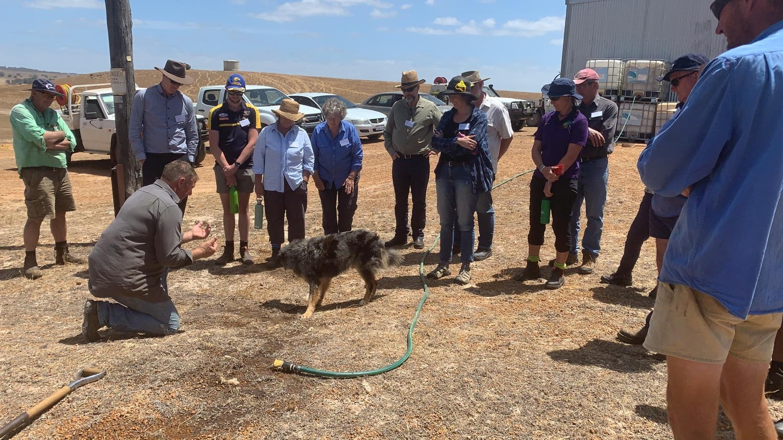
Photo credit - T. Wiley